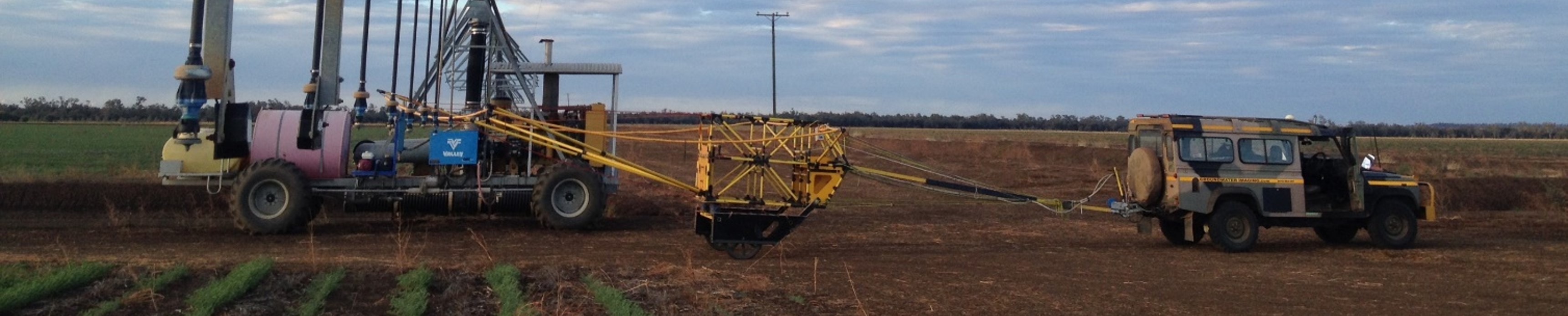
Towed TEM
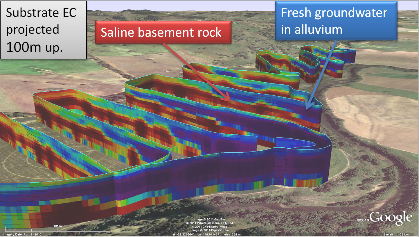
Wallaby and Wallaroo and associated electronics (collectively once called AgTEM) are transient electromagnetic survey systems designed for mapping of electrical resistivity to several tens of metres deep beneath agricultural land and water infrastructure. Electrical Resistivity, or its inverse, electrical conductivity, is related strongly to soil and rock clay content, moisture content, permeability and host groundwater salinity.
Wallaby can be towed by pickup trucks, ATVs, and the like while Wallaroo is lighter and can be either towed or carried.
AgTEM data may undergo modelling to distinguish deeper features from shallow features. Features as deep as 90m have been modelled and correlated with borehole records while depth of investigation characteristic has been reported to 160m deep.
The AgTEM transmitter continuously outputs a 50% duty cycle square wave of up to 45 Amps into a selection of transmitter loops of up to 5 turns. The main Wallaby loop is 32m2 while the Wallaroo loop is 29m2.
Each AgTEM structure can contain up to three pre-amplified receiver loops connected to the AgTEM receiver which detects ground response with 24bit resolution.
Data is GPS located and both decay curves and a raster map of colour graduated time slice data are updated continuously for in field data quality control checking and on-the-fly survey plan adjustment.
Case Studies
AgTEM+ bore inspection & geological mapping.
Save mobilizing and inducting multiple specialists
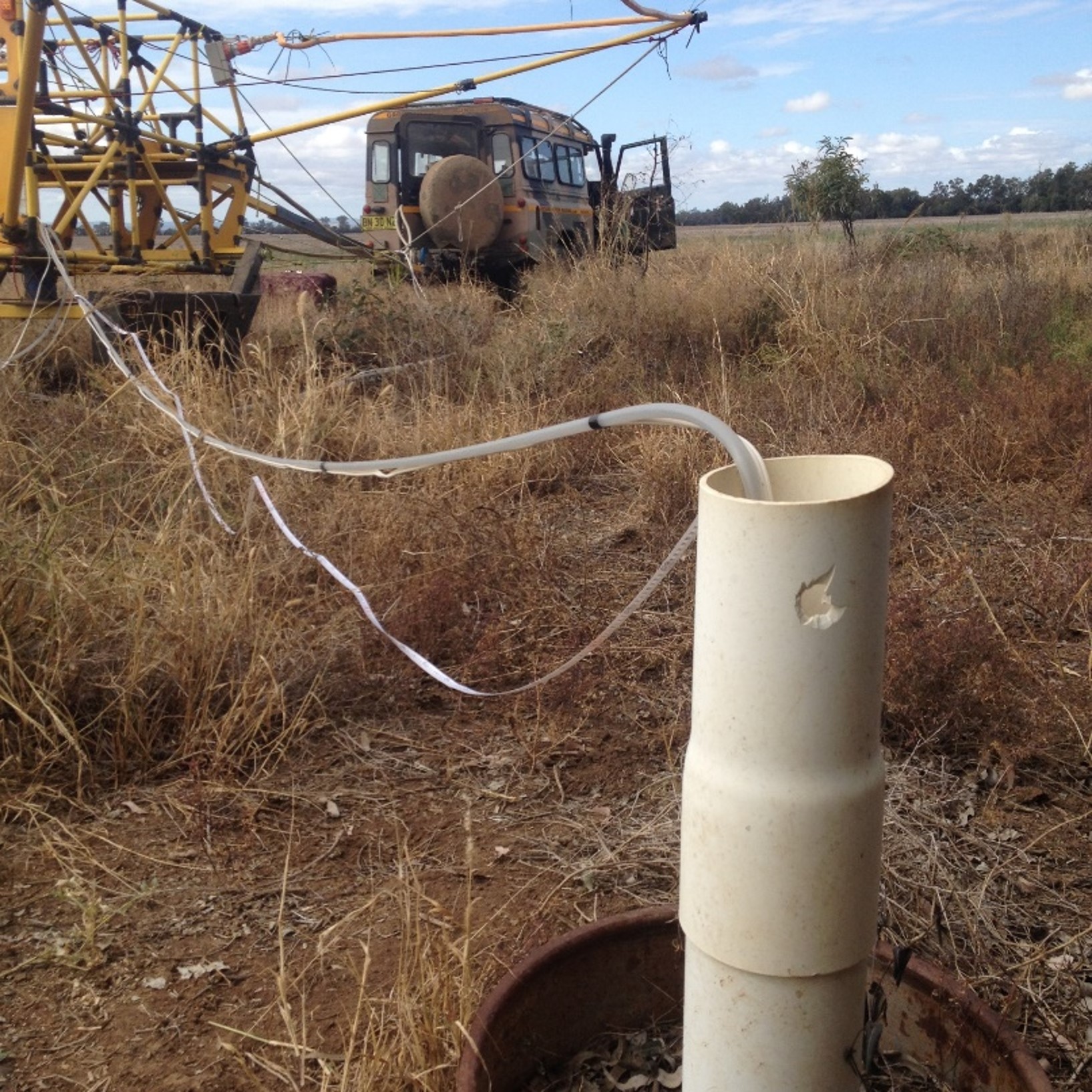
During AgTEM surveys most existing bores on a site are located.
With remote sites and difficult site induction requirements it is good to get additional services conducted during AgTEM surveys, particularly since boreholes will be located and visited during AgTEM survey.
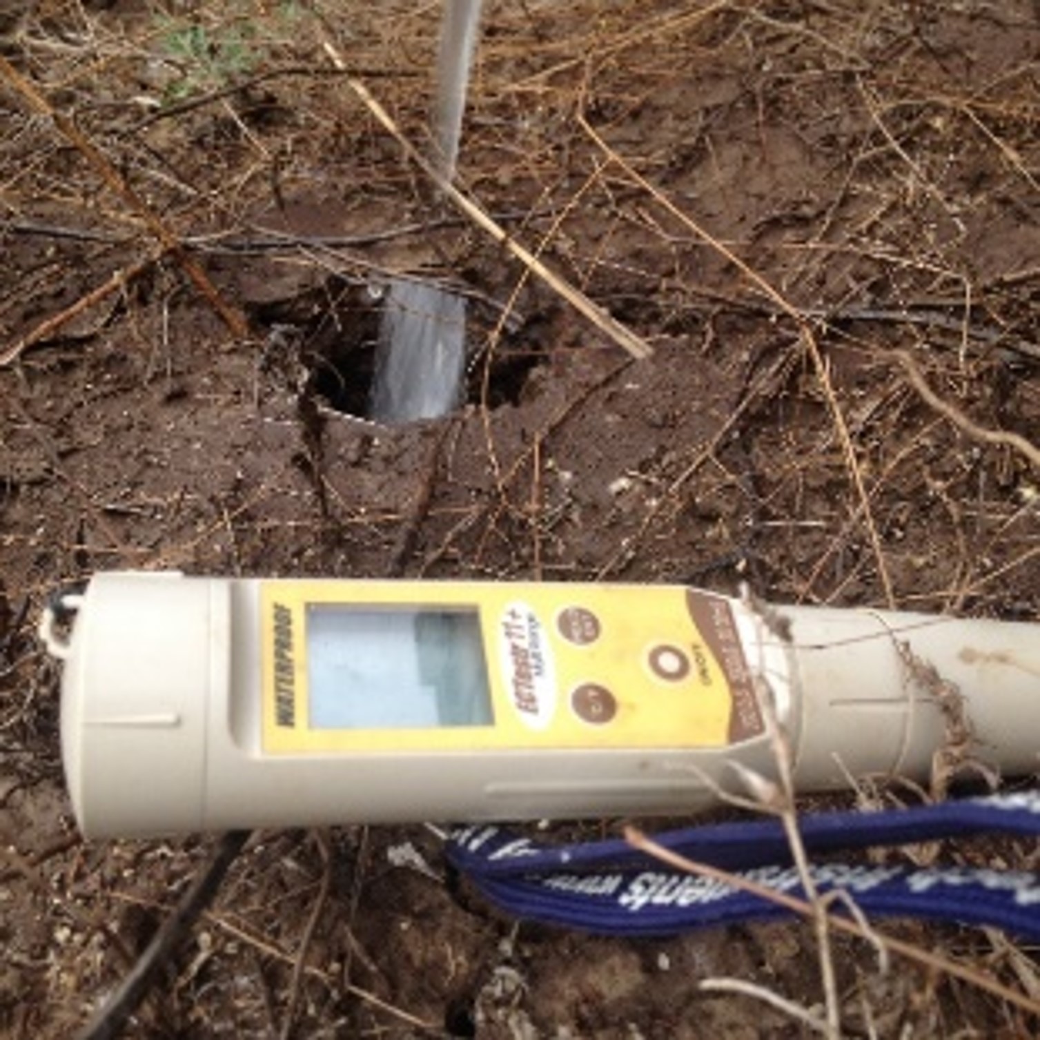
We can conduct purge sampling, SWL measurement with DGPS, on-site salinity, sample collection, logger installation and downhole geophysical logging.