Other
We offer a Water Bore Lithology graphics solution for viewing data stored in state water bore databases. We plot driller log lithology and standing water levels as 3D graphics on Google Earth such that it is easy for farmers to see existence of, trends, and correlation in data retained on bores historically drilled on and around their properties.
We have a range of bore water pumping, sampling, and testing apparatus and standing water level test tapes.
We have soil and sludge augering and sampling hand and motorized tools.
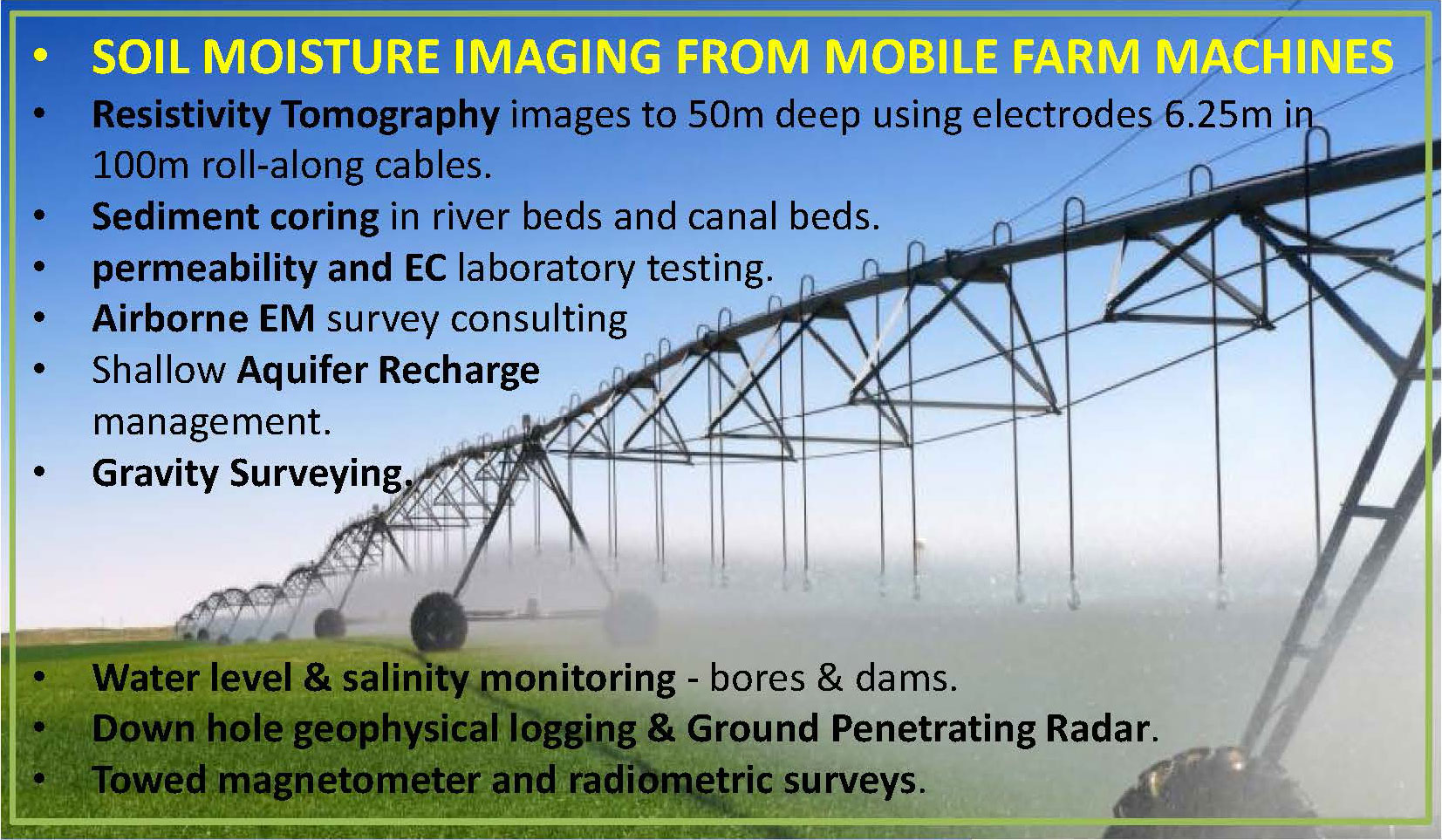
We have a Lacoste and Romberg Gravity Meter, 3 axis Seismograph, and various other geophysical tools more rarely used in groundwater exploration as well as experience using various Gamma Ray Spectrometers and Magnetometers which we may source from affiliates. Alternatively we may refer clients to such affiliates depending on circumstances.
We presently avoid offering airborne electromagnetics in-house, even with drones, but due to the almost identical nature of AgTEM to most airborne EM systems and processes we are in a good position to advise on, and/or manage AEM surveys.
We have some downhole winches and experience with downhole logging but are not a dedicated downhole logging company.